NEAR-WORST STORM OVER
Sheriff Lowers
Travel Advisory

By JIM KEVLIN • Special to www.AllOTSEGO.com

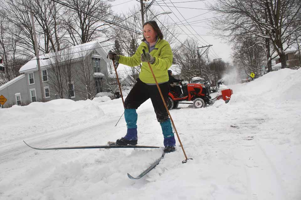
COOPERSTOWN – Pretty much everything came to standstill in Otsego County today, after a snowfall that rivalled the worst dumped almost 30 inches on us overnight.
The worst of the worst just missed us: “Endicott got a tad over 40 inches,” David Mattice, the National Weather Service observer in Oneonta, said a few minutes ago.
“There were not a lot of accidents, but we got a lot of cars that were stuck or abandoned,” county Sheriff Richard J. Devlin Jr. said this afternoon, as he was about to reduce his “No Unnecessary Travel” to a less stringent “Travel Advisory.”
As dusk arrived, primary roads “are OK,” he said. But secondary roads are slippery, and the wind is picking up, and he urged continued caution.
Mattice agreed this snowfall, about 29 inches, was the worst to hit the county since March 17, 2017, when 31 inches were recorded.
But he said, this was a Nor’easter, which can strike our region anytime from November to April. (The more treacherous blizzards, a separate category, usually arrive in March. Storms from the West, like “Alberta Clippers,” are usually too dry to bring much snowfall.)
The storm resulted from two low-pressure systems – one from the Southwest, the other hanging off Long Island. The second one was expected to go out to sea yesterday, he said; instead, moisture-filled, it moved inland, with the moisture turning to precipitation as the front headed toward Otsego County.
By 6 a.m. today, Mattice’s gauge showed 27.1 inches had fallen. “We picked up another couple of inches after that.”
By midnight, 6-7 inches had fallen. “Then it exploded,” he said, with 2-3 inches falling per hour, “perhaps more,” though 7 a.m.

